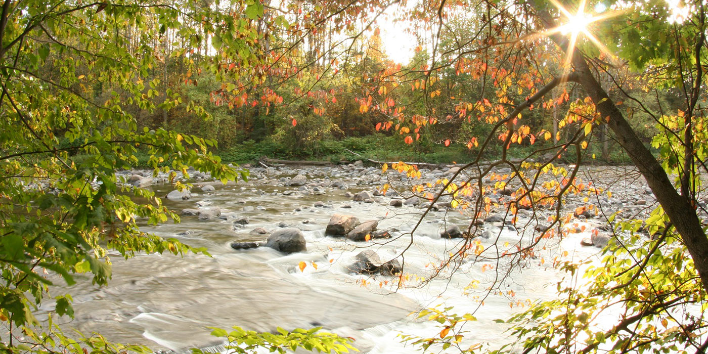
Chagrin River Access Plan
Challenge
An untapped resource along lake erie’s shoreline needed a team to enhance public access and economic development.
Services Involved
- Planning
- Land Use Analysis
- Public Engagement
- Comprehensive Planning
- Public Access Plan
- Mapping
- Data Visualization
- Branding
Chagrin River Access Plan
The Chagrin River Watershed Partners is leading the way in securing a sustainable, resilient future for the Chagrin River while encouraging responsible development.
Located in northeast Ohio, this planning project will create a comprehensive regional trail and public access plan starting at Lake Erie and following along the Chagrin River in Lake County.
COHESIVE VISION THROUGH ENGAGEMENT
Engaged, diverse stakeholders are crucial partners in any planning process.
With ten municipalities to engage, each with different needs and contexts, the team began the planning process by forming a diverse steering committee and visiting the Chagrin River sites in-person with the members.
This fun, interactive day gave the project a cohesive vision from the start and set the stage for more creativity and collaboration as the project progressed.
PRIORITY SITE CONSIDERATIONS
Our team is determining priority sites for future waterfront access opportunities and improvements for existing sites.
Responsible development must account for environmental areas of concern along the Chagrin River. This study included protecting high-risk erosion areas which impact water quality, public access, and private properties along the Chagrin Riverfront.
ENHANCING ECONOMIC POTENTIAL
Economic potential abounds for Lake County’s Chagrin Riverfront communities.
The Chagrin River Access Plan lays the groundwork for Lake County to capitalize on recreational tourism by creating continuous recreational trail connections that connect riverfront communities and to the river. These trail connections include water, bike, and pedestrian traffic access.
Priority areas will be assessed on how they can serve community members and how they can be a regional and international draw for recreational boaters and Steelhead trout fishermen. This approach capitalizes on the existing benefits of the Chagrin River area.
MAPPING + DATA VISUALIZATION
Rivers meander across communities and roads and can go unseen in the residents’ daily experience. The Chagrin River is no exception.
A simple way to improve public awareness of the river and build support for the planning process is to provide new maps and data to the public in a visually pleasing, easy-to-understand format. With the highly-skilled project team, we are providing new maps and resources that will spur discussions for years to come.
The goal is not only to drive awareness of the many benefits of the Chagrin River, but also to provide information for future use.
LAKE ERIE CONNECT BRANDING
The Chagrin Connect project is part of a larger project with Northeast Ohio Areawide Coordinating Agency (NOACA). The project, Lake Erie Connect, has many coordinating efforts along Lake Erie’s shoreline.
For public engagement and information, the team created a project web page dedicated to Chagrin Connect and a designated logo, both as part of the larger Lake Erie Connect website.
Photo credit: Vince Reinhart, CC BY-SA 2.0, via Wikimedia Commons

